SDB-Online revamp: New features to map shallow waters within mouse clicks
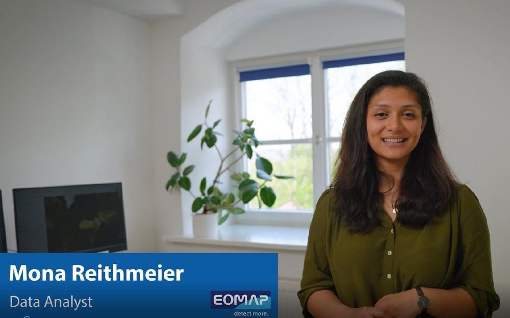
“On this World Hydrography Day 2023, we would once more like to value and ease the work of hydrographers and surveyors across the globe. In particular, the new satellite scene selection offers radical time savings to SDB-Online users”, says Mona Reithmeier, product manager at EOMAP.
Further amendments include a flat rate for a chosen region, allowing users to flexibly process data as often as they wish, which is ideal for time-series and monitoring purposes. Moreover, users can – optionally – insert own survey data to refine and validate SDB-Online results, and the new cut-off tool simplifies post-processing of the results. In addition to a standard base layer, SDB-Online users can switch to nautical charts and overlay SDB with those.
SDB-Online builds on EOMAP’s expertise in Satellite-Derived Bathymetry (SDB), a technique to map water depth from space. With SDB-Online, users such as coastal engineers, surveyors, modellers or scientists can create high-resolution bathymetry grids 24/7, and from the comfort of their desks. The WebApp helps to overcome data gaps and to achieve significant time and cost savings compared to traditional on-site surveys and even existing SDB solutions. SDB-Online can be used both independently and via API-integration into other software solutions.
On the 6th of July, EOMAP will run a webinar on the new interface of SDB-Online. More details including a registration link are provided here: https://www.eomap.com/…
For more than two decades, EOMAP has been a pioneer in Satellite-Derived Bathymetry (SDB). This technology can calculate water depth data by inverting the path of sunlight through the atmosphere and water, harnessing multispectral satellite imagery. For SDB-Online, EOMAP has automated this complex physics-based process.
EOMAP’s bathymetric data are featured in nautical charts and the European harmonized bathymetry grid, EMODnet Bathymetry. The company has also been ranked as the top SDB provider by the UK Hydrographic Office and is contributing to Seabed2030.
SDB-Online has been developed with co-funding by EU Horizon 2020 innovation program. Link to SDB-Online: sdb-online.eoapp.de
About Satellite-Derived Bathymetry (SDB)
SDB is a rising technique using satellite data records and analytical methods for producing “digital twins” of shallow waters. EOMAP’s SDB concept is to quantify water depth by inverting the radiative transfer model. This model describes the modulation of sunlight as it passes through the atmosphere, water surface, and water column and is reflected back to the satellite sensor from the seafloor. In short, water depth is derived from light energy in different wavelengths which are recorded by satellites. Compared with ship and airborne survey methods, SDB allows for mapping extensive aquatic zones remotely and within a fraction of time. SDB data by EOMAP have been integrated into various nautical charts, are part of the European harmonized bathymetric grid, and serve the management of the Great Barrier Reef and many other coastal stakeholders. Advances in accuracy and awareness of this effective surveying method keep driving the demand.
The international team of water enthusiasts turns satellite data into value for aquatic stakeholders. By providing data and software services, EOMAP wishes to advocate more effective and sustainable management of coastal and inland waters.
Clients around the world value the team’s deep understanding of aquatic environments. Moreover, EOMAP’s partners enjoy the panoptic view they gain on the water bodies of their interest and a growing number of software tools for easy access to satellite data. The German tech company was founded in 2006, has its headquarters near Munich, and maintains offices in Australia, the USA, Indonesia, and the United Arab Emirates.
eomap.com
EOMAP GmbH & Co. KG
Schlosshof 4
82229 Seefeld
Telefon: +49 (8152) 99861-10
http://www.eomap.com/
Head of Marketing Communications
Telefon: +49 (8152) 9986-110
E-Mail: schmoelzer@eomap.com
![]()


