-
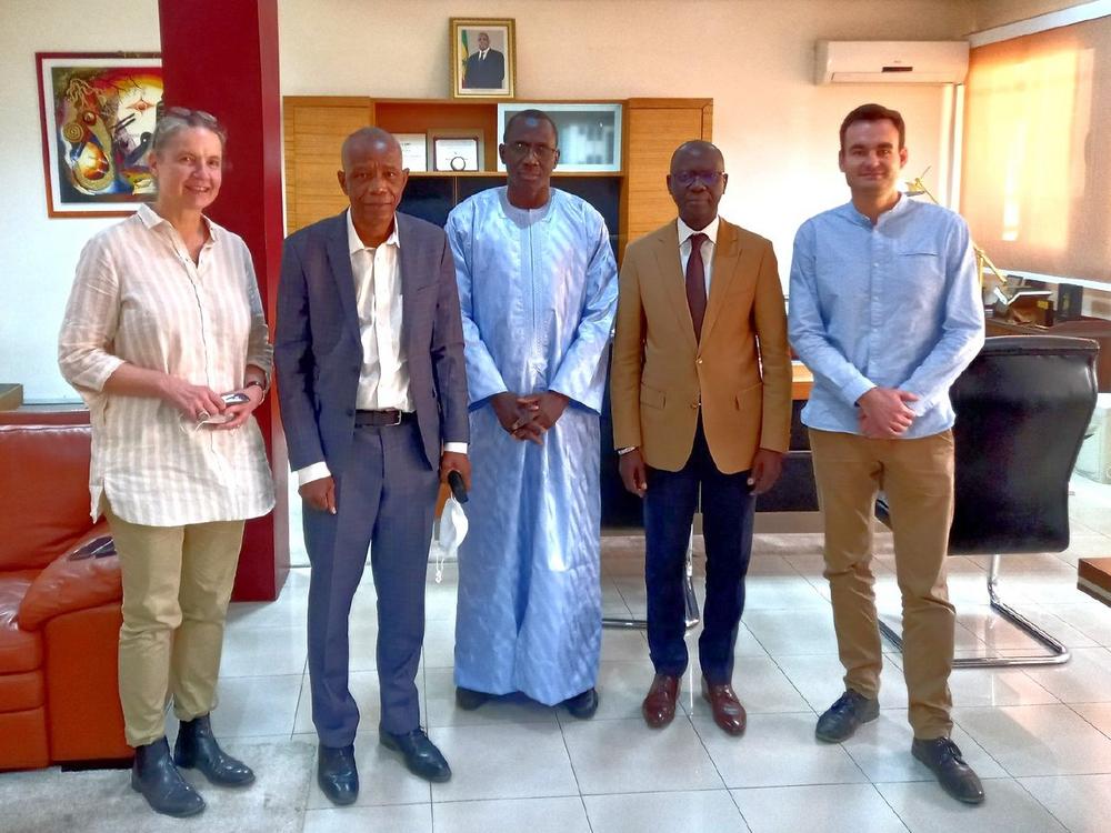
GAF AG appointed project lead for the Land Rights Administration Modernisation Programme – PROMOGEF in Senegal
A consortium under the lead of GAF AG will implement the “Programme de Modernisation de la Gestion Foncière” (PROMOGEF), the Land Rights Administration Modernisation Programme of the Senegalese Government and the German Federal Ministry for Economic Cooperation and Development (BMZ), funded via the KfW Development Bank. The programme supports the provision of a decentralised, efficient, transparent and accountable land rights administration, with the first phase scheduled for completion by 2025. The “Programme de Modernisation de la Gestion Foncière” (PROMOGEF) was successfully launched in December 2021 with a duration of four years. The German financial cooperation (German Federal Ministry for Economic Cooperation and Development, BMZ) is supporting the Senegalese Government (via…
-
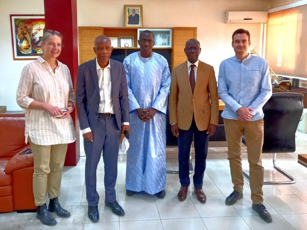
GAF AG nommé chef de projet pour le Programme de Modernisation de la Gestion Foncière – PROMOGEF au Sénégal
Un consortium dirigé par GAF AG mettra en œuvre le "Programme de Modernisation de la Gestion Foncière" (PROMOGEF), programme du gouvernement sénégalais et du ministère fédéral allemand de la coopération économique et du développement (BMZ), financé par la banque de développement KfW. Le programme soutient la mise en place d’une gestion des droits fonciers décentralisée, efficace, transparente et responsable, dont la première phase devrait s’achever en 2025. Le "Programme de Modernisation de la Gestion Foncière" (PROMOGEF) a été lancé avec succès en décembre 2021 pour une durée de quatre ans. La coopération financière allemande (ministère fédéral allemand de la coopération économique et du développement, BMZ) soutient le gouvernement sénégalais (via…
-
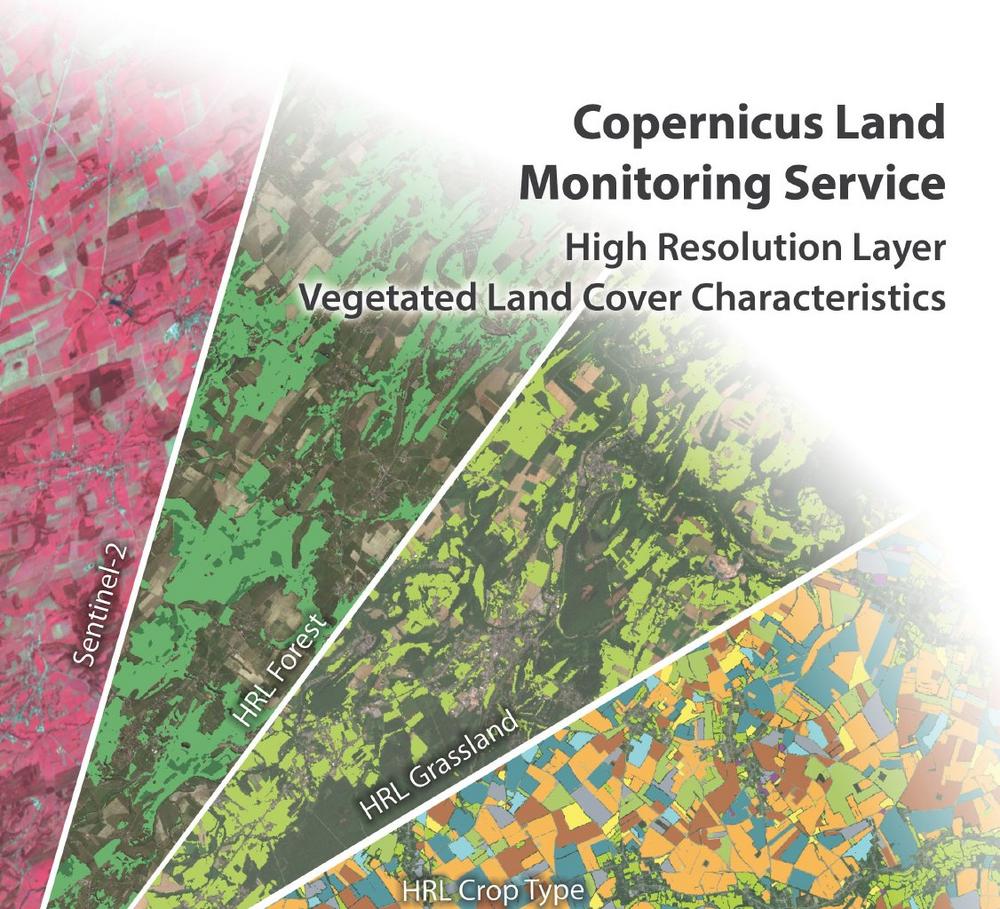
Copernicus Land Monitoring Service: Consortium of GAF, GeoVille and VITO starts HighResolution Layer Vegetated Land Cover Characteristics Project
The European Environment Agency (EEA) recently awarded a contract to a consortium under the lead of GAF with the partners GeoVille and VITO to implement the new High-Resolution Layer (HRL) Vegetated Land Cover Characteristics (VLCC), as part of the pan-European Copernicus Land Monitoring Service (CLMS). Its rich product portfolio will ensure both the continuation and evolution of successful precursor HRLs, such as Forest and Grassland, and the establishment of new HRL products focusing on crops and agricultural practises. The implementation of HRL VLCC will happen with funding by the European Union. With the new HRL Vegetated Land Cover Characteristics (VLCC), the European Environment Agency (EEA) will substantially extend and integrate…
-
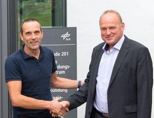
25 years of successful cooperation between GAF AG, DLR and Antrix
GAF, the German Aerospace Center (DLR) in Neustrelitz and Antrix Corporation have a successful cooperation stretching back 25 years. In 1996, they signed agreements for the purpose of receiving Indian Earth observation data and distributing the data to European customers on an exclusive basis. That was the starting point for 25 years of successful cooperation and the acquisition of millions of scenes so far – and on into the future. The cooperation between the GAF subsidiary Euromap GmbH, DLR and Antrix began in 1996 with the signing of various agreements. The purpose: to receive Indian Earth observation data and distribute this data to European customers on an exclusive basis. In…
-
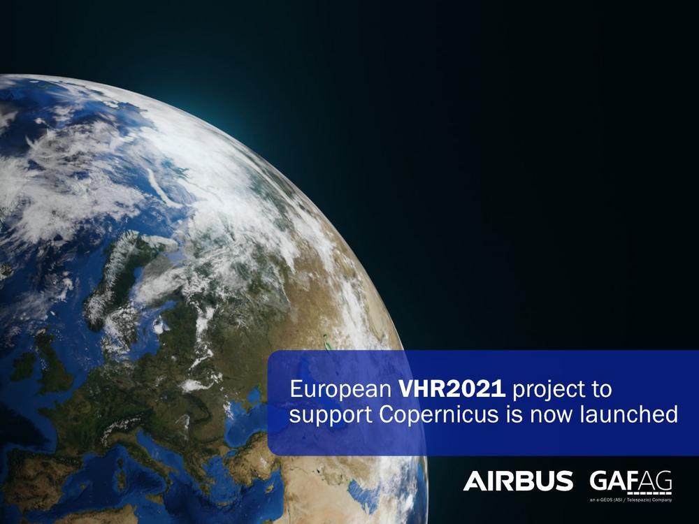
European VHR2021 project to support Copernicus is now launched
By combining its skills, experience and expertise, the Airbus-GAF consortium will optimise the acquisition of data using a unique fleet of satellites. In the project, the Airbus optical satellite range, consisting of Pléiades, SPOT and Vision-1, as well as the WorldView, GeoEye, Deimos, SuperView, Kompsat and TripleSat satellites, will be used. The consortium will provide over six million square kilometres of freshly acquired very high resolution, high-accuracy satellite ortho-images for the reference year 2021. The biggest challenge in this project will be ensuring that all the imagery is cloud-free and cloud-shadow free. Resampled at 2m or 4m resolution, depending on the sensor, a total of 11,686 imagery tiles (25km by…
-
GAF has been awarded a Multi-Year contract by the German Federal State of Saxony-Anhalt
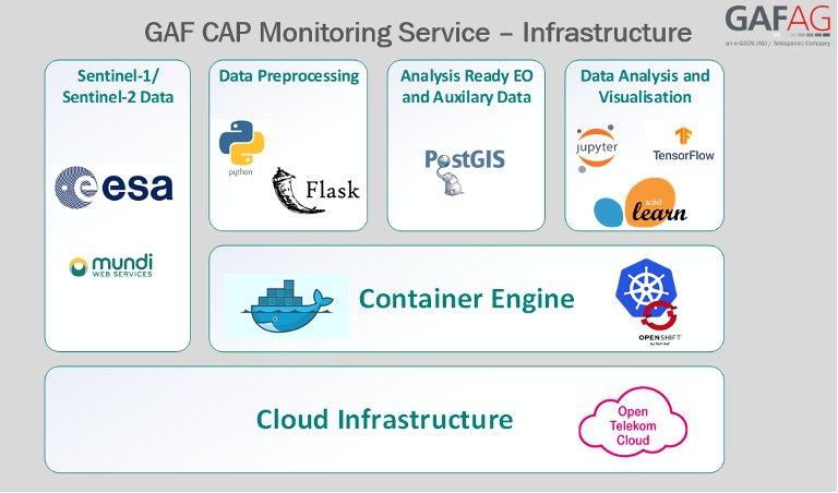
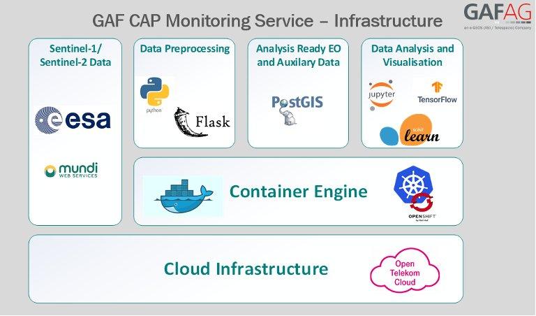
GAF AG has won the first European call for tenders for the operational implementation of the agricultural area monitoring system in Germany in 2021 stipulated by the European Common Agricultural Policy (CAP). The Paying Agency makes use of GAF’s sophisticated cloud-based solutions for the automatic monitoring of agricultural parcels. The contract runs for the next three (+1) years and covers the rapid, accurate and fully automated continuous monitoring and precise verification of numerous crop types covering the entire area of Sachsen-Anhalt, and the evaluation of compliance with agri-environmental and climate measures, using both optical and radar data from the European Copernicus Sentinel Missions. As part of an ongoing series of…
-
GAF erhält Mehrjahresvertrag von Sachsen Anhalt
Sachsen-Anhalt hat einen Mehrjahresvertrag mit der GAF zur Durchführung des Monitorings landwirtschaftlicher Flächen im Rahmen der Gemeinsamen Agrarpolitik (GAP) in der EU abgeschlossen. Die GAF AG hat den Zuschlag für die erste europaweite Ausschreibung zur hochautomatisierten Auswertung von Satellitendaten in Deutschland hinsichtlich der Überwachung landwirtschaftlicher Flächen im Rahmen der Europäischen Gemeinsamen Agrarpolitik (GAP) erhalten. Der Vertrag ist auf drei (+1) Jahre angelegt und umfasst die schnelle, genaue, vollautomatische Überprüfung zahlreicher Kulturpflanzenarten für die gesamte Landesfläche Sachsen-Anhalts sowie die Einhaltung von Agrarumwelt- und Klimaschutzmaßnahmen unter Verwendung optischer und Radardaten des Europäischen Copernicus- Sentinel Programms. Im Rahmen der fortlaufenden Modernisierungen und Vereinfachungen der Gemeinsamen Agrarpolitik in der EU (GAP), hat die Europäische…
-
GAF AG und BKG intensivieren ihre Kooperation im Hinblick auf die Bereitstellung von Multi-Source-Fernerkundungsdaten
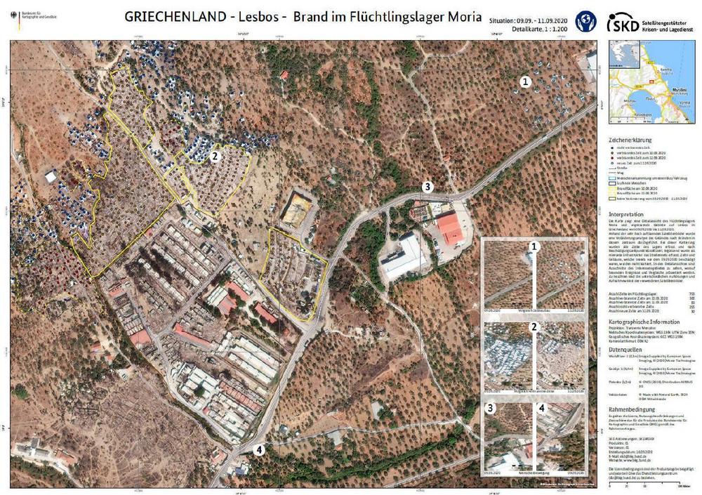
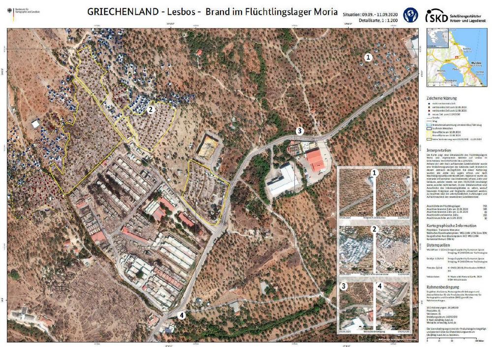
Die GAF AG, einer der größten europäischen Anbieter von Geoinformationsdiensten mit dem Schwerpunkt Erdbeobachtung, hat eine internationale Ausschreibung des Bundesamts für Kartographie und Geodäsie (BKG) für die Bereitstellung von Fernerkundungsdaten gewonnen. Der daraufhin abgeschlossene Rahmenvertrag beinhaltet Beratungsdienstleistungen und Exklusivzugriff für das BKG und deren Bedarfsträger auf hochauflösende und sehr hochauflösende optische Satellitenbilder sowie Radaraufnahmen. Mit dem Satellitengestützte Krisen- und Lagedienst (SKD) leistet das BKG einen unverzichtbaren Beitrag, unkompliziert und schnell aufbereitete Informationsprodukte aus Geodaten und Fernerkundung an alle Bundeseinrichtungen bereitzustellen. Bei sicherheitsrelevanten und kritischen Herausforderungen ermöglicht dies eine schnelle Reaktion. Dr. Sebastian Carl, CEO der GAF, hebt hervor: "Wir freuen uns sehr über die Intensivierung der Zusammenarbeit. Die GAF kann…
-
GAF AG and BKG intensify their cooperation regarding the provision of multi-source remote sensing data
GAF AG, one of the largest European providers of geographic information services with a focus on earth observation, has won an international tendering process issued by the German Federal Agency for Cartography and Geodesy (BKG) for the provision of remote sensing data. The framework agreement concluded on that basis includes consulting services and the granting of exclusive access to the BKG and its users to high-resolution and very high-resolution optical satellite images and radar images. With its satellite-based crisis and situation service, the BKG makes an indispensable contribution to providing straightforward and rapidly-prepared information products derived from geodata and remote sensing to all the federal institutions. This enables a rapid…

